
1
2
3
4
Cortes Island viewed from the north
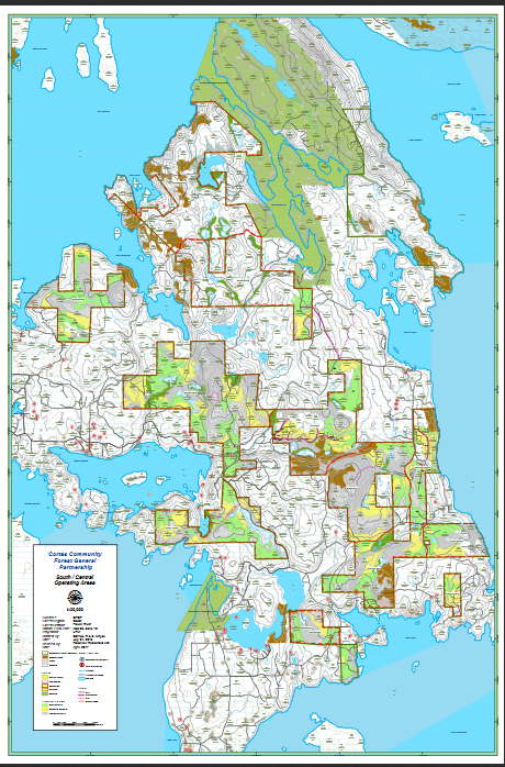
The yellow boundaries indicate the Cortes Community Forest land base.
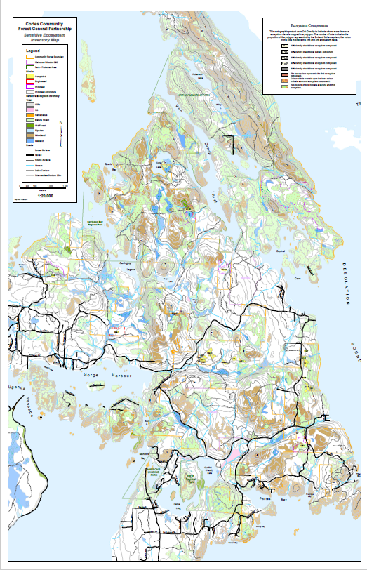
Cortes Comunnity Forest Sensitive Ecosystems Map
For a larger version, click here.
Overview of Cortes Community Forest Land Base
This map shows the community forest boundaries and the age class of trees/type of vegetation within. Click here for the same map with greater resolution.
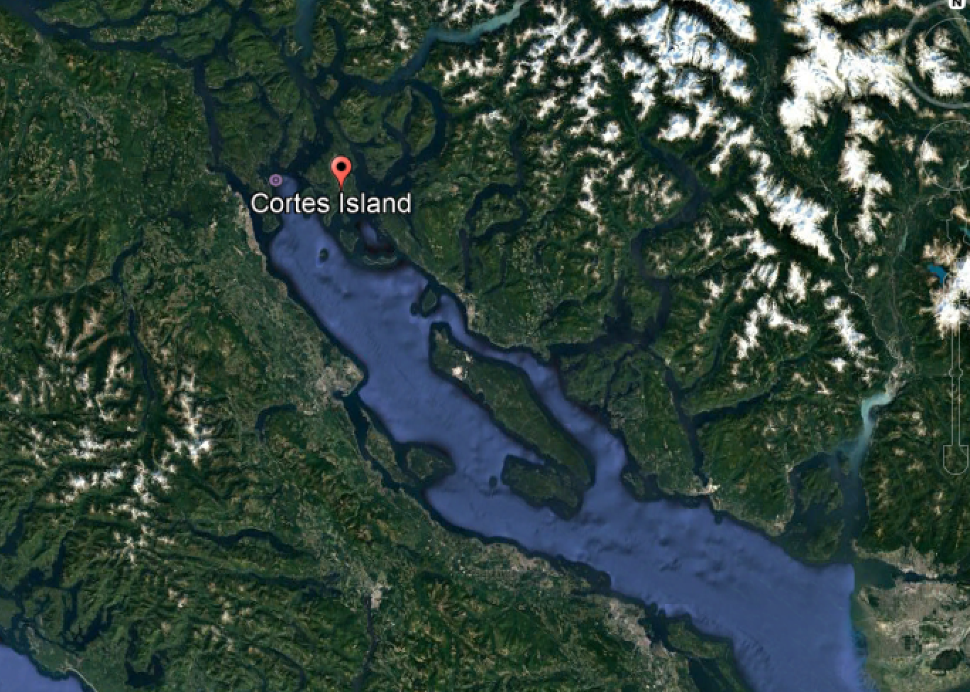
Cortes Island in the Salish Sea
Cortes Island is nestled in Desolation Sound between the mainland of BC and Vancouver Island. For reference, Metro Vancouver is situated in the lower right hand corner of this picture.